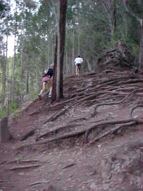
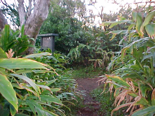
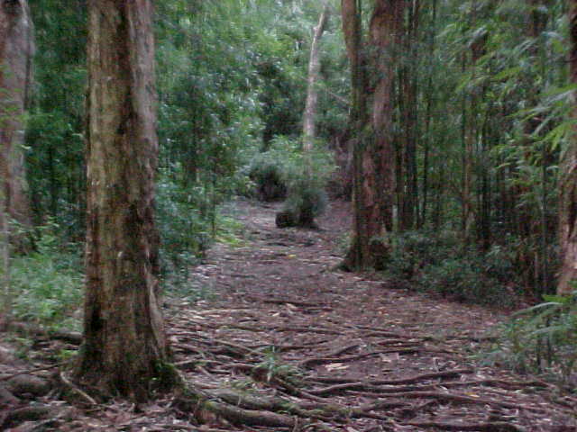
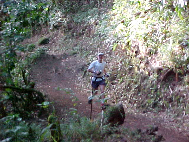
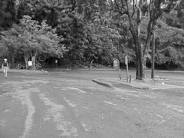
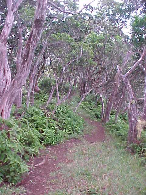
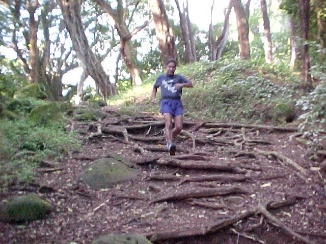
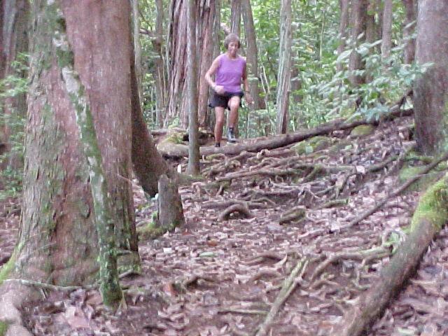
Maunalaha Trail (aka Hogsback) about 3/4 mile above the start line.
|

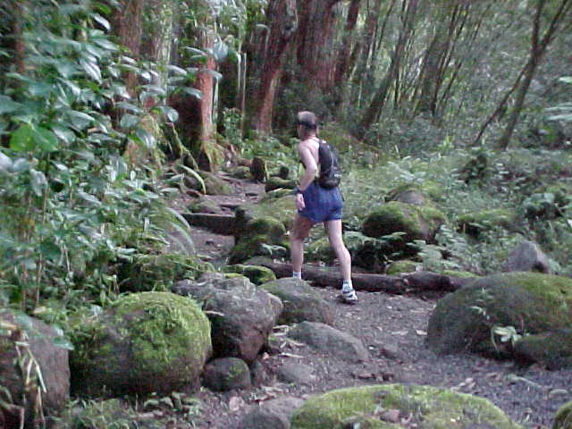
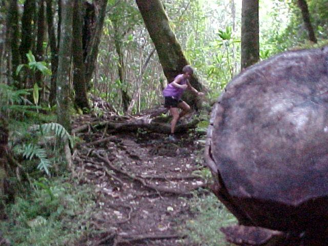
Maunalaha Trail, about 1/2 mile from the top.
|

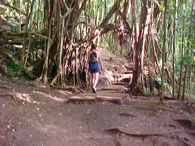
Just past the 4 Way (top of Maunalaha Trail) heading down to the Kanealole marker.
|

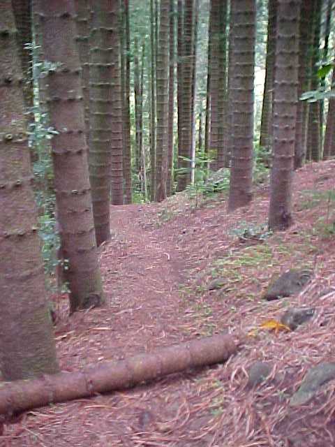
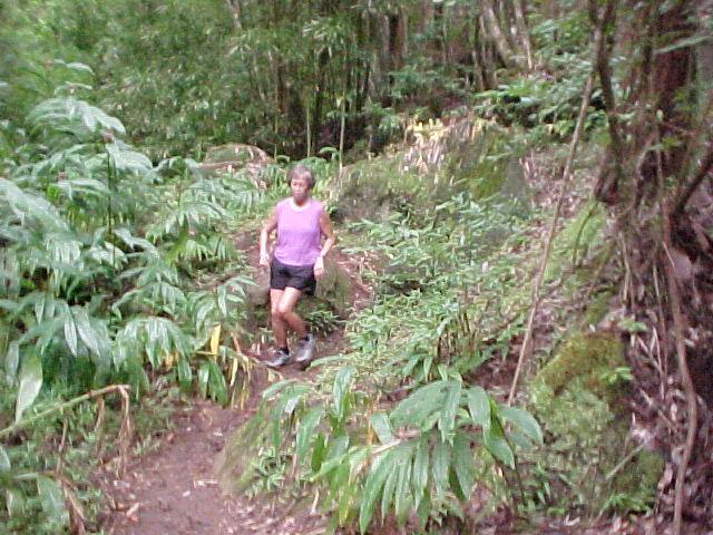
Early section of the Manoa Cliffs Trail.
|

Manoa Cliffs Trail. This is a DRY day.
|

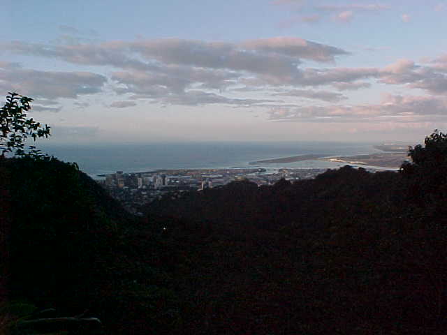
Early morning view of Honolulu from the Manoa Cliffs Trail.
|

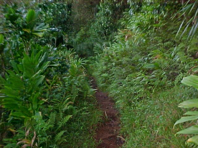
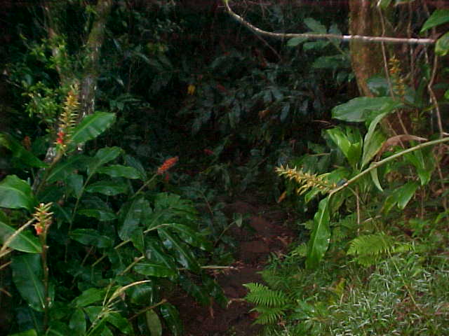
There is a trail here somewhere ... too bad all the wild ginger plants have bloomed. During the summer, the fragrant flowers are everywhere.
|

You are approaching the big map encased in trex and glass. Hard LEFT turn here onto Pauoa Flats trail. Careful... this can be very slick downhill section if it's wet.
|

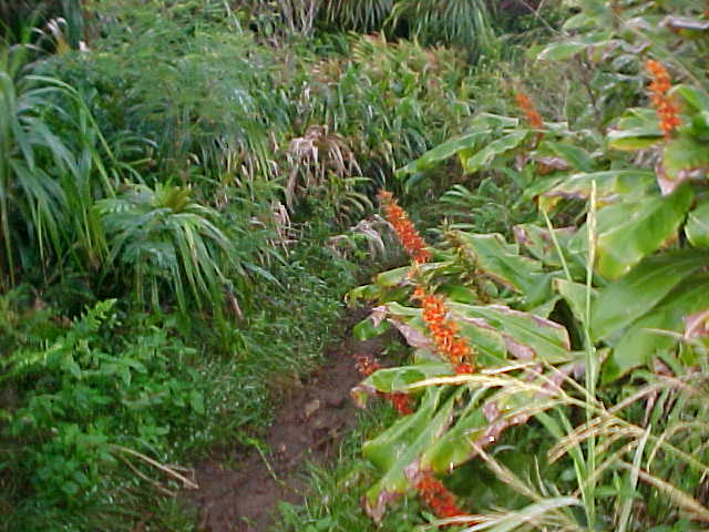
Pauoa Flats trail. Last of the Kahili Torch Ginger blossoms.
|

Pauoa Flats Trail.
|

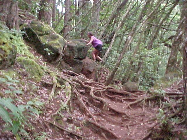
Rooty section of the Pauoa Flats Trail. You will pass the Nuuanu Trail intersection on your left. Continue on this trail towards the top of the Aihualama Trail.
|

Pauoa Flats Trail.
|

You are now nearing the top of the Aihulama Trail. A 1.6 mile downhill follows. Very rocky at times, but runnable.
|

Headed down Aihualama.
|

View of Manoa Valley as you head down Aihualama towards Manoa Falls.
|

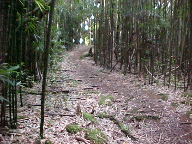
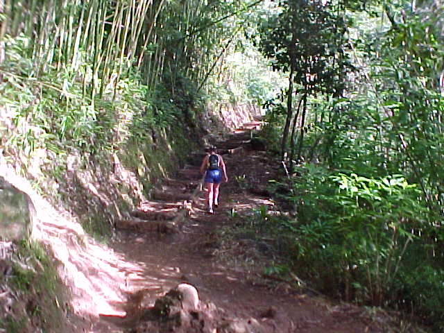
Last of the bamboo grooves before Manoa Falls.
|

Just leaving the bamboo groove ... still pretty good running terrain.
|

About 1/4 miles before Manao Falls. Watch out for slippery roots in this section.
|

Beginning of rocky section just before Manoa Falls.
|

Easy does it in this section.
|

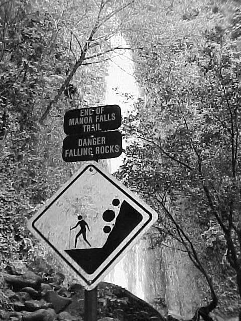
Manoa Falls.
|

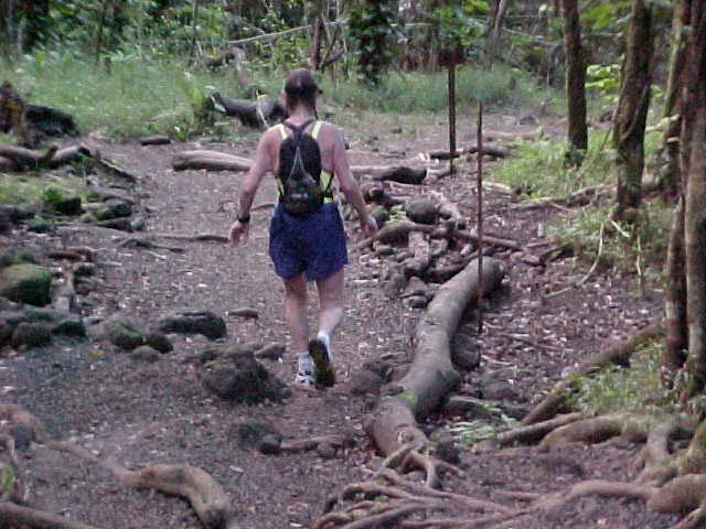
Leaving Manoa Falls and heading down towards the turn-around at Paradise Park. Lots of Rocks ... be careful.
|

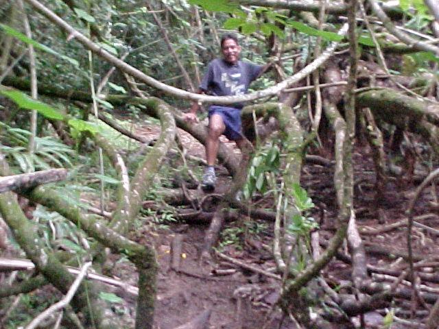
Fast Eddie headed back up to Manoa Falls.
|

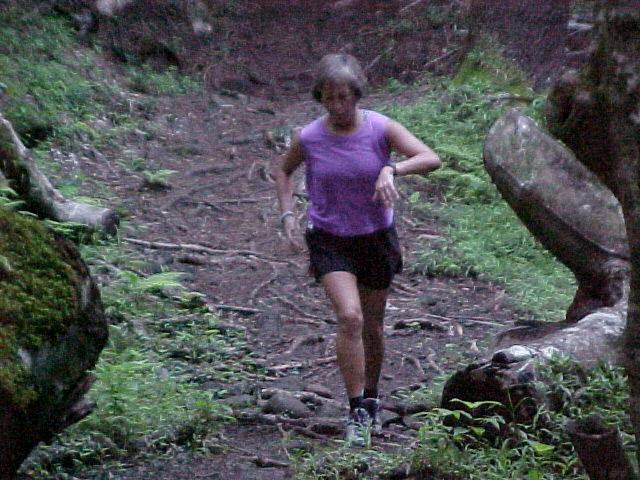
Still headed down to the turnaround.
|

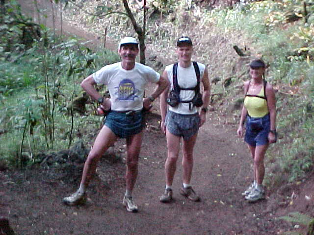
Akabill, John Robinson, and Filesha pause for a quick picture. See... everyone is still smiling.
|

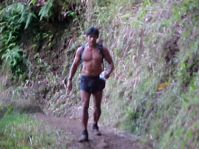
"Huffer" powering his way up to Manoa Falls.
|

Almost to the stream, about 3/4 mile from the turnaround.
|

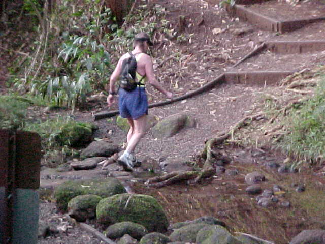
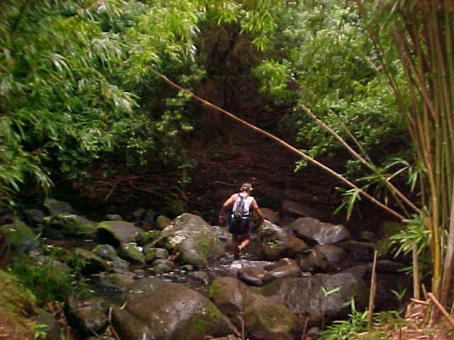
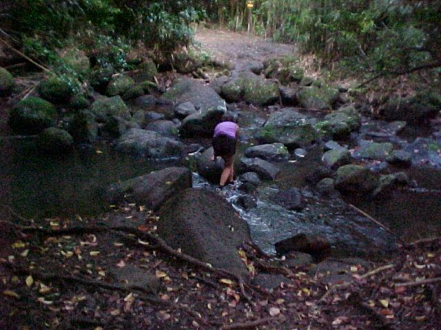
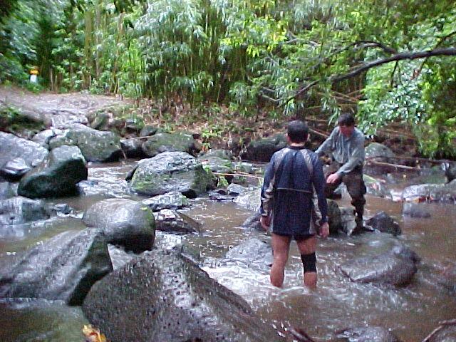
Stream crossing... low tide today since there is no rain.
|

Quick look at the left side of the trail as you emerge onto the gravel path near the entrance to Manoa Falls.
|

the turn around at Paradise Park. Mileage 7.3 miles.
|

Headed back up to the Falls.
|

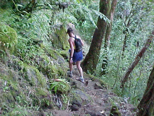
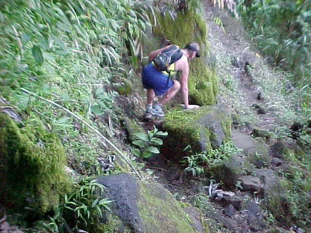
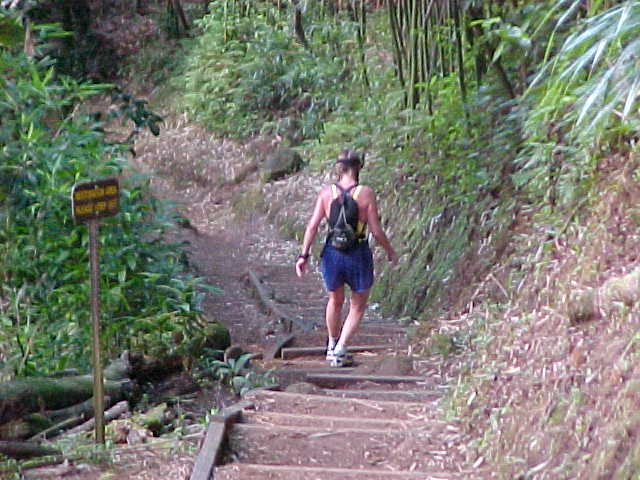
Still headed back up ... beware the stairs! They can be very slippery.
|

Still more stairs!
|
Rather than bore you all too much, the next set of pictures will start at the top of Nuuanu Trail (mile 10) as you descend down into the valley towards the Judd trailhead and the river crossing.
|

Top of the Nuuanu Trail, just before you hit the steep downhill section.
|

Looking backwards from the top of Nuuanu.
|

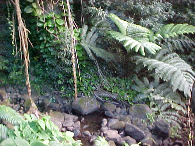
The "Enchanted Forest," just before the Judd trailhead.
|

More forest pictures.
|

The Judd trail lies just ahead. Take a sharp left turn onto Judd from the Nuuanu trail!
|

A view of a nicer section of the Judd Trail.
|

Cross the stream here to aid station at Jackass Ginger, about 100 ft. ahead. Rocky and slippery crossing, but we will try to have a rope stretched out for runners. If it is raining, the water can get to mid-thigh or even higher. This picture taken on a very dry day.
|

Some of Greg Cuadra's aid station volunteers ready to go to work at Jackass Ginger
|

This flat spot is where the Jackass Ginger aid station will be set up.
|

Heading back down to the stream crossing.
|

Mae crossing the stream ... beware the slick rocks! Note the Judd trail marker in the background. Turn right at the sign.
|

Lower Judd Trail, headed for the Nuuanu marker at about 13 miles into the first loop.
|

A short climb up from the stream's edge. Memorize this location early or you might miss it in the dark!
|

Finally, some good running terrain!
|

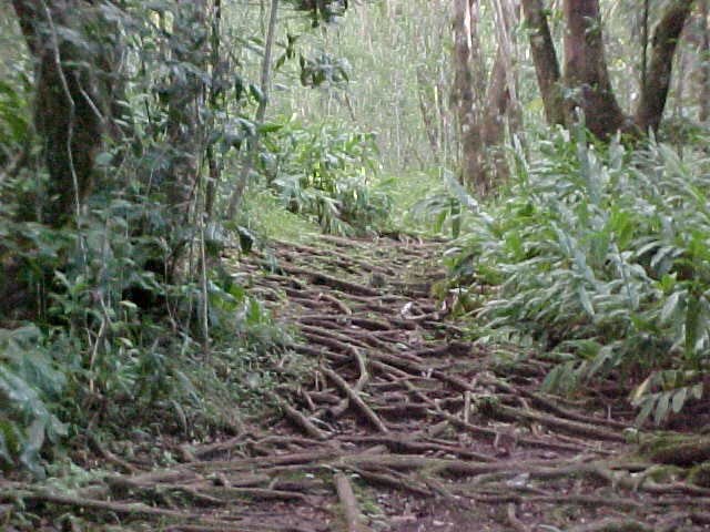
Still on the lower Judd Trail... watch the roots!
|

An easy crawl through the Hau tree jungle ...
|

Just can't seem to get rid of those gnarly roots! The "Enchanted Forest" lies just ahead and it's about .75 miles to the Nuuanu Trail marker.
|

Upper Judd trail.
|

Upper Judd Trail.
|

The Nuuanu Trail ... expect to gain +800 feet in the 1 mile climb to the top.
|
Will try to shoot pictures of the Nuuanu Trail before race day.
|

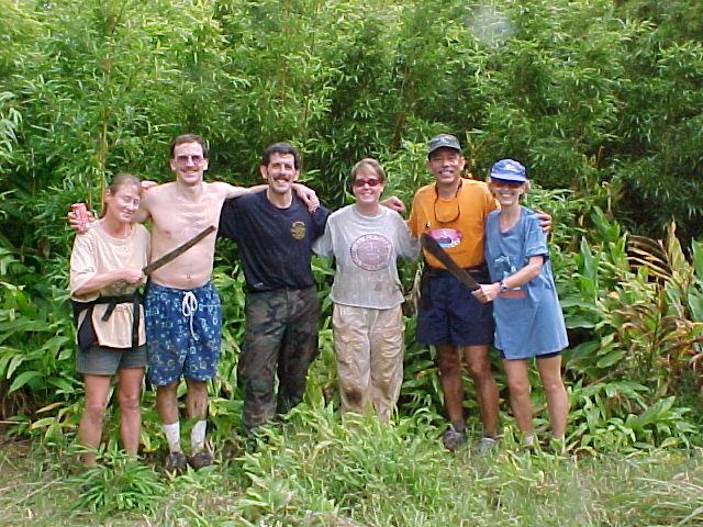
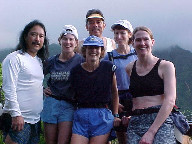
HURT members relaxing after a hard day of repairing trails.
|

Grooming Manoa Cliffs trail.
|

Erosion damage on Manoa Cliffs trail ... this section will still have a +24" dropoff during the race so be careful!
|
|
Last four pictures from the Saturday, 1/12, work party.
|

Aaron from DLNR explaining his plan to "civilize" the stream crossing to Greg Cuadra
|

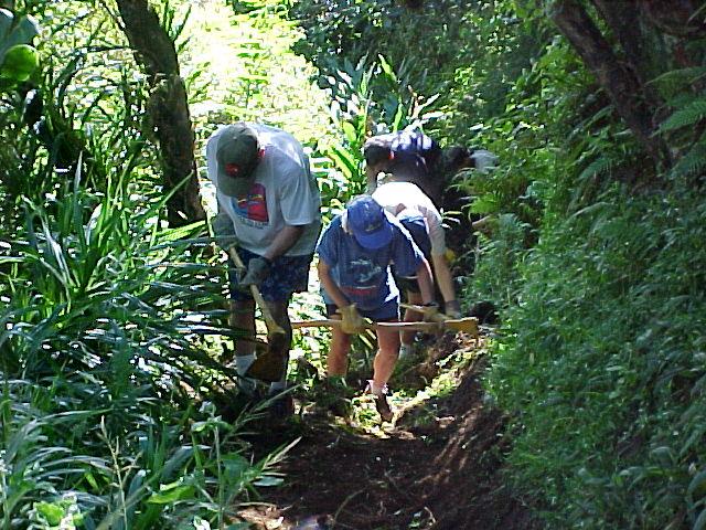
HURT members hard at work making a dry walkway for stream crossers.
|

"Huffer" searching for more flat rocks.
|

Pat Carroll gives the new pathway a tryout.
|

An early surprise awaiting this Sunday's HURT Trail 100 group out flagging the course ... a downed tree and landslide that has completely blocked a section of the Moleka Trail. Hopefully it will be cleared before race weekend. That's Big John Salmonson leading the group over the fallen tree.
|

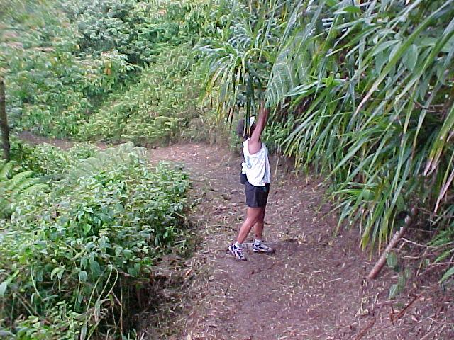
That's Mae, hanging an overhead ribbon on the Manoa Cliffs trail.
|

HURT trail markers on the Manoa Cliffs trail.
|

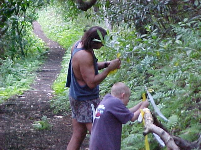
Kimo and Ryan hard at work flagging trail, just past the 4 way.
|

Taking a short break at the Manoa Valley lookout.
|